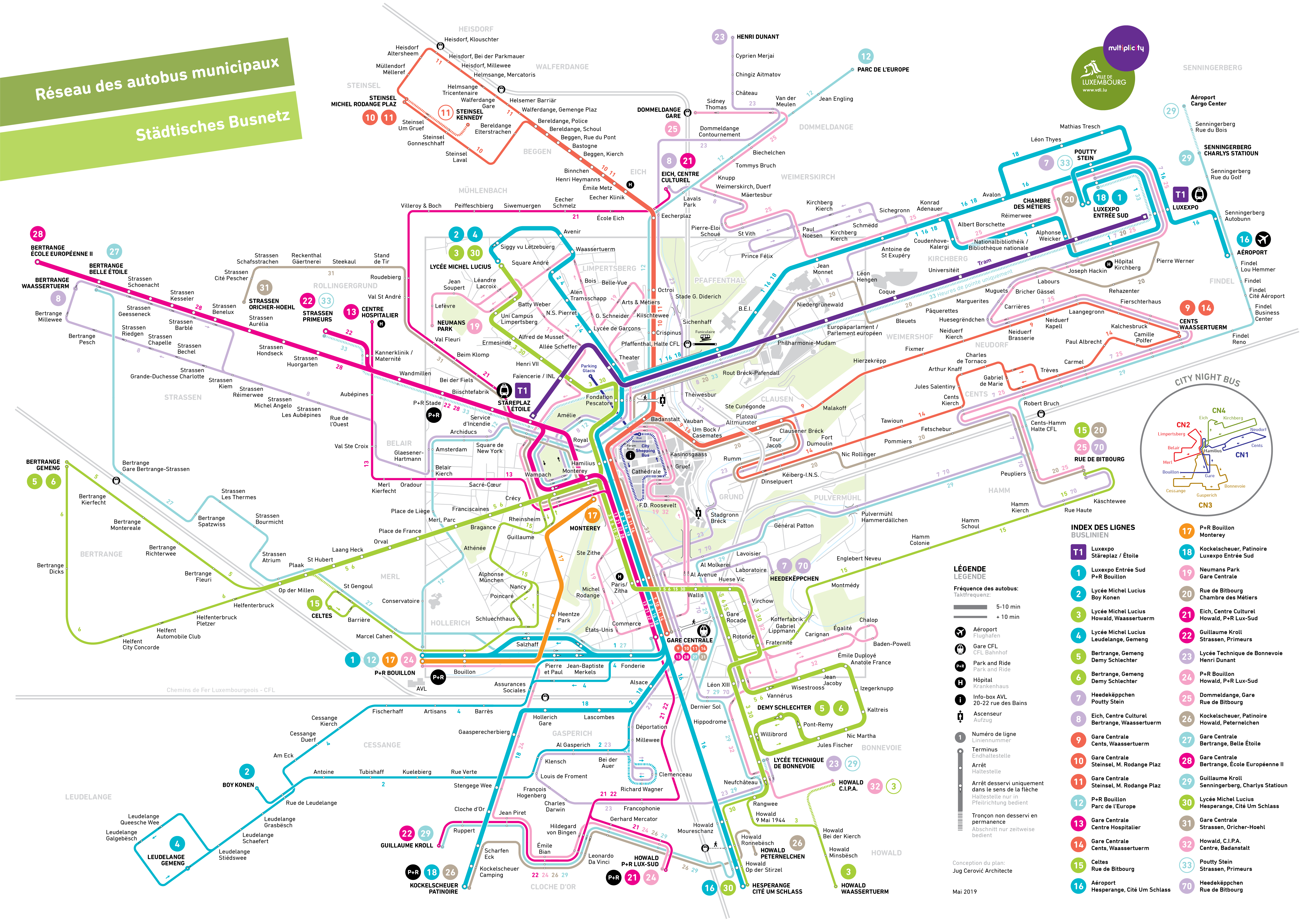
LUXEMBOURG BUS MAP
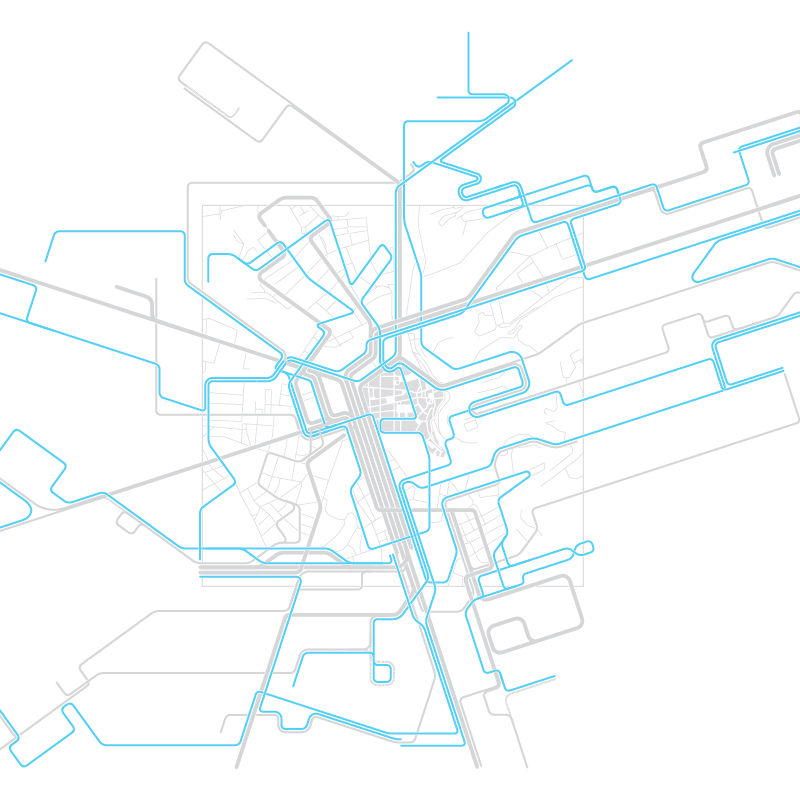
Official map of the Luxembourg City bus network
TweetDESIGN NOTES
Geography
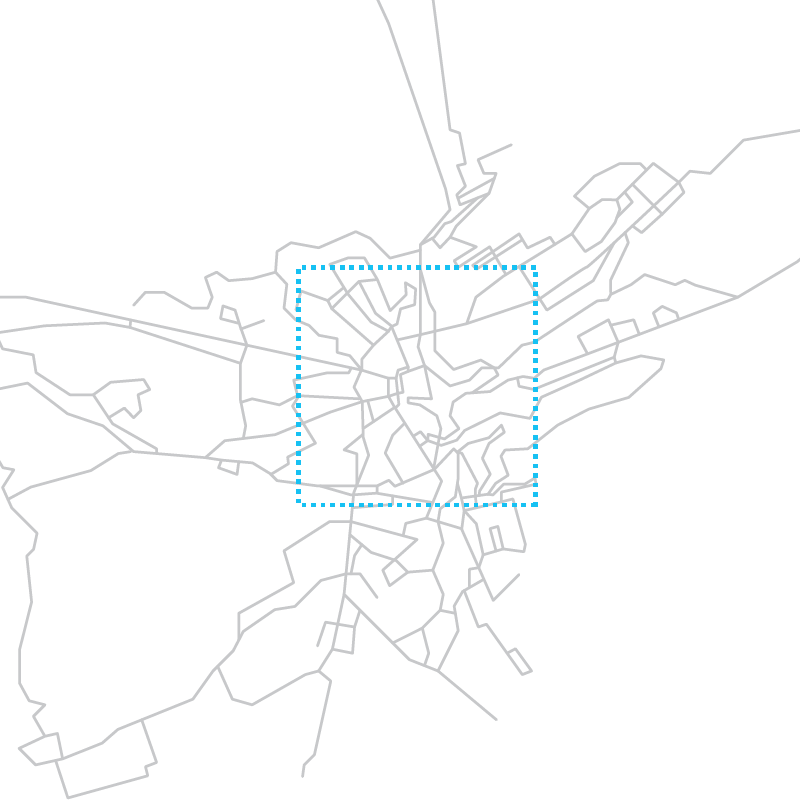
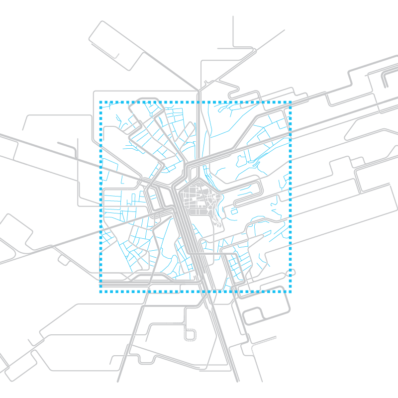
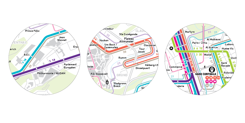
The map encompasses the entire area served by the bus system with two different scales:
- The Urban scale, pedestrian scale, in the dense central area
- A territorial scale on the periphery
Topology
City Center:
- Enlarged
- Geographic
- Detailed (all streets are pictured)
Periphery:
- Shrunk
- Schematic
Symbolics
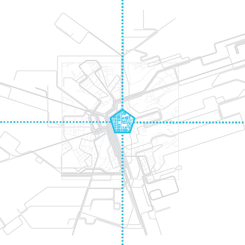
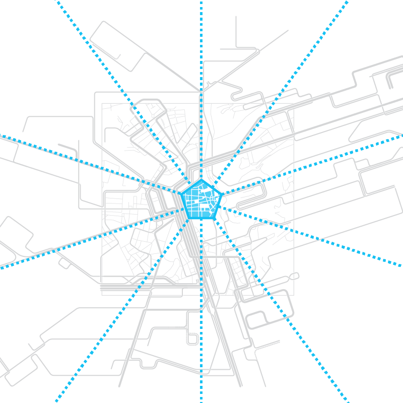
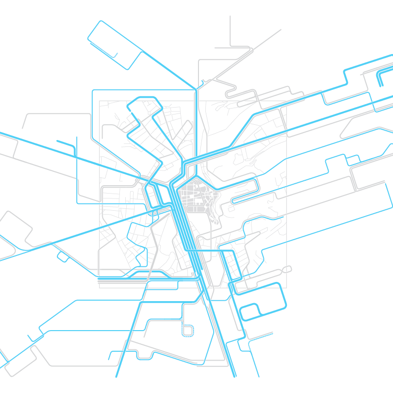
The Old Town (Ville Haute) is placed at the exact center of the map for immediate orientation. It's peculiar pentagonal shape is emphasized and it is shown as a dense urban fabric with packed building intersected by streets and squares.
Structure
The structure of the map corresponds to the morphology of the city with all angles multiples of 18°, relating to the pentagonal center.
Information Hierarchy
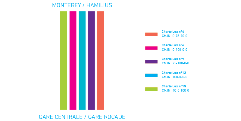
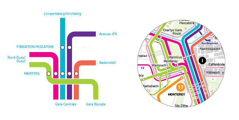
Central corridor: 19 lines
Center-Main Railway Station
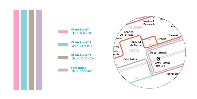
Bright line colors
Lines are grouped and frequencies added.
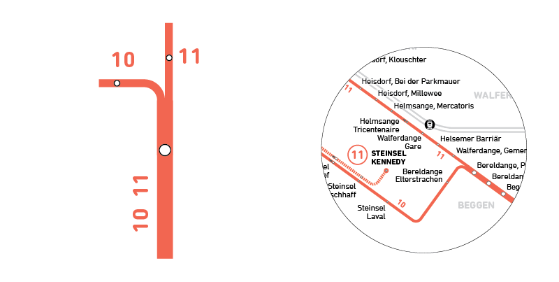
Thick line = high frequency, 5 to 10 min
Thin line = Low frequency (more than 10min)
Lines are grouped according to their common direction.
Tangent lines: 11 lines
Secondary network, lines have lighter pastel colors.
Cityscape elements:
Remarkable buildings
Parks
Rivers
Railways
Bridges
Service icons
Media Coverage
Neuer Fahrplan: Leserlich und nutzerfreundlich
Luxemburger Wort
March 2016
Le "Spaghetti Monster" tire sa reverence
Paperjam
March 2016
Il a recree la carte de bus de la Ville de Luxembourg
L'Essentiel
June 2015
Architect brings alternative bus map to Luxembourg
Luxemburger Wort
June 2015
