One Metro World

Metro maps are much more than mere functional diagrams to me, I consider them works of art that shape our mental image of the city and contribute to an iconic shared identity.
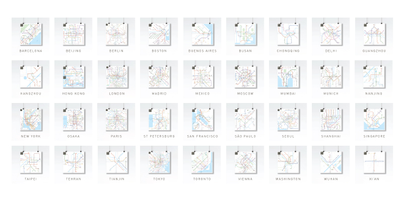
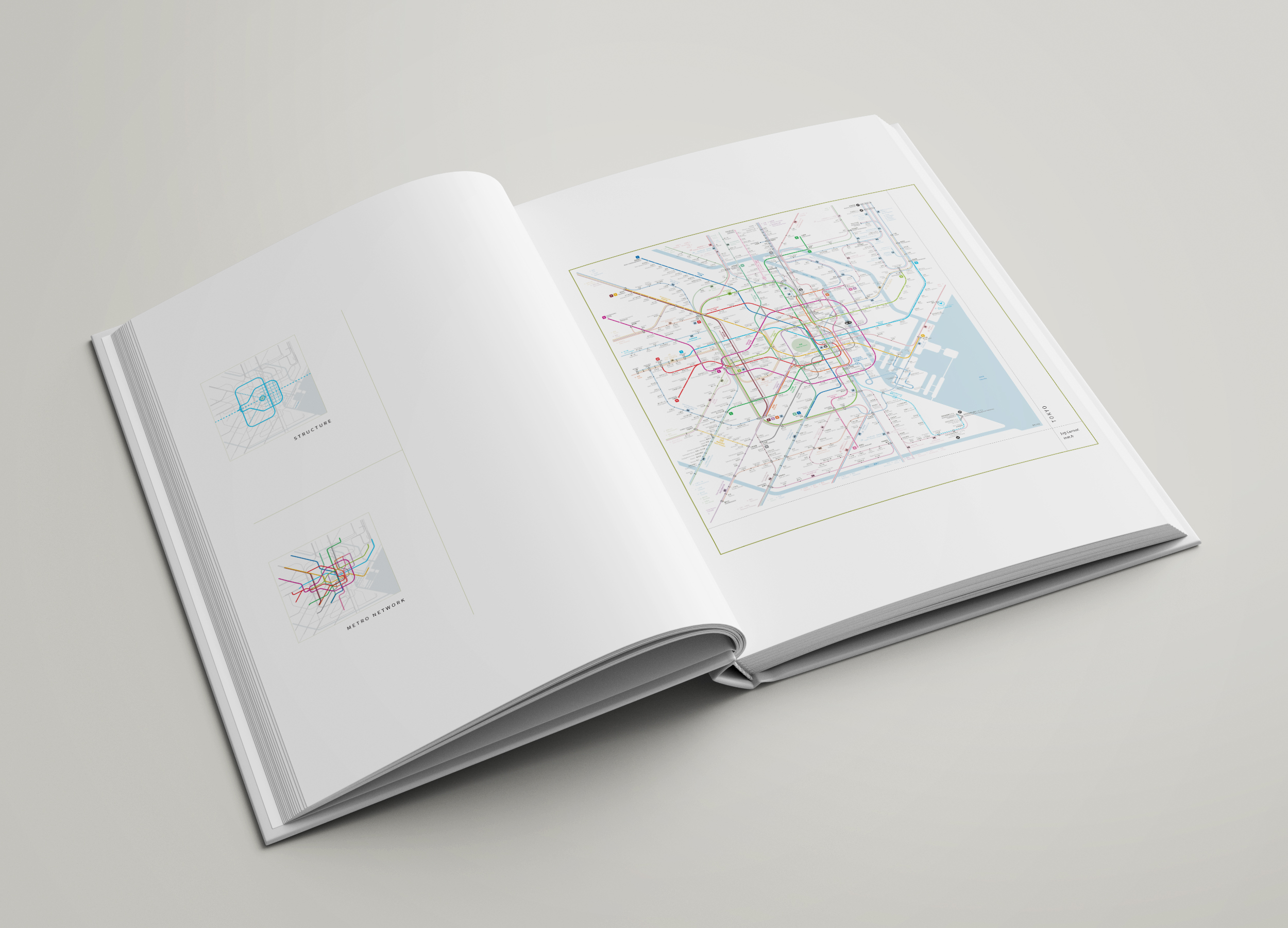
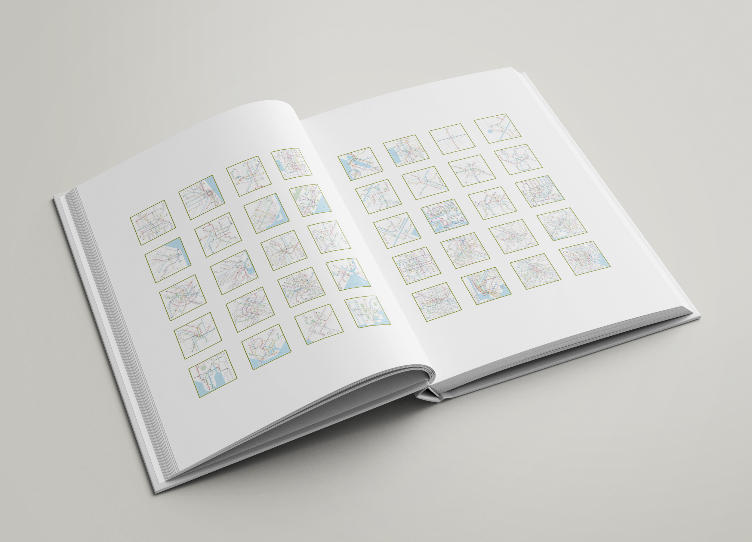
I have created 40 unique, beautiful and efficient subway maps for 40 metropolises using a common graphic language in order to offer a new perspective as well as a platform for the exploration and enjoyment of the underground world.
You can see all the maps in high resolution at inat.fr/maps.
The book
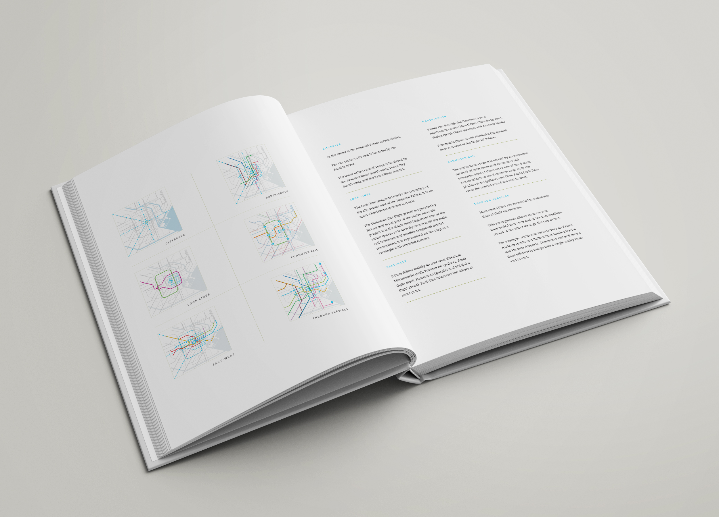
One Metro World
An atlas of schematic metro maps
Hardcover
8.25" x 11" (20.95 x 27.94 cm)
Full Color on White paper
252 pages
This book contains:
- A theory of schematic mapping
- Guidelines for a metro graphic language
- 40 original metro maps
- A story for each map
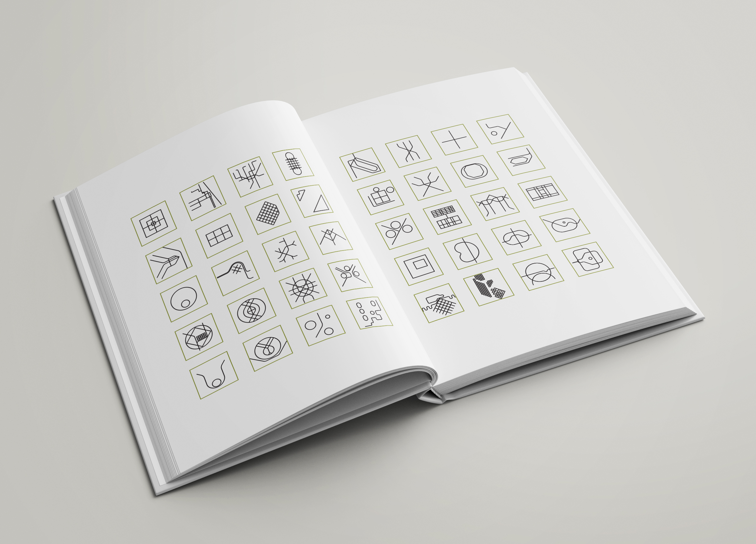
- Schematic design notes
Order a hardcover copy on Amazon:
Amazon.com
Amazon.fr
Amazon.co.uk
Amazon.de
Amazon.es
You can read the entire book in PDF format here:
Featured cities:
Barcelona, Beijing, Berlin, Boston, Buenos Aires, Busan, Chengdu, Chicago, Chongqing, Delhi, Guangzhou, Hangzhou, Hong Kong, Istanbul, Kuala Lumpur, London, Madrid, Mexico, Moscow, Mumbai, Munich, Nanjing, New York, Osaka, Paris, Saint Petersburg, San Francisco Bay Area, Sao Paulo, Seoul, Shanghai, Singapore, Taipei, Tehran, Tianjin, Tokyo, Toronto, Vienna, Washington, Wuhan, Xi'an
Theory
Graphic language
Maps
Stories
Design Notes
Order online at Amazon
Introduction
The text below is the introduction from the book One Metro World
Space and Time
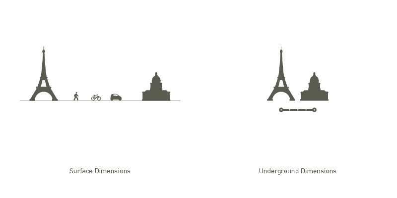
A metro system is much more than a transportation network, it is a parallel universe where space is contracted and time is inflated.
The urban surface world and the subterranean metro world operate entirely independently, one from the other, and are connected only through a limited number of stations. Only through a station can one pass from one realm to the other.
Underground, the city acquires novel dimensions. By traveling on a train that runs straight from station to station, through tunnels and without obstacles, one can cover much greater lengths in the same given time frame compared to surface travel, or can cross a set distance much faster.
As such the metro effectively functions as a space and time shortcut inside the urban fabric. As far as the traveler is concerned, from the moment he ventures underground, the physical space separating stations immediately shrinks while simultaneously the time at his disposal offers an inflated travel potential.
A metro system thus offers a city a new and parallel dimension, different but nevertheless tightly connected to the physical one by a number of fixed gates. These gates, or stations, are connected by metro services into an underground network of potential journeys and in order to navigate it one needs a map that portrays its peculiar context and mechanisms.
Navigation
The only way to navigate a metro system, from one station to another, is to board a train destined for the targeted station or to board several consecutive trains, transferring from one to another if a direct service is not available.
Indeed the network is composed of a limited number of frequent running services, we call them lines, which connect isolated stations. Some of these stations are served by more than one line and thus allow transfers.
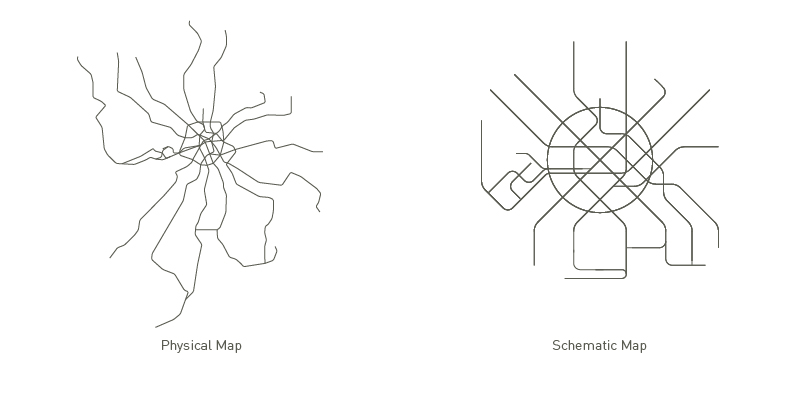
Inside this network only two categories of space are readily accessible to the traveler: the static stations and the dynamic trains. The entire area between the stations themselves lies effectively beyond reach as it is either solid ground or tunnels that can only be crossed enclosed in a train. Consequently the shape, length and other physical characteristics of this intermediate space are of no importance whatsoever for efficient navigation, the only necessary information is the way lines connect stations and their relative position to one another. Geography is irrelevant, only connections matter.
Therefore, even though a physical map of the network could be used for navigation, it overwhelms the user with superfluous information such as precise route shapes and physical distances. On the contrary, a schematic map displays only the most necessary information organized in a way to portray how the system works, not what the infrastructure looks like, resulting in a far superior navigation tool.
Virtual Reality
In order to understand a complex street network one can explore the streets on foot, climb to a high point and embrace the entire city panorama or consult an aerial photography.
Understanding a metro network is a different matter. It is impossible to observe it from the outside as most of the infrastructure lies hidden underground. Even when approached from within, its static components, stations, stand isolated and can be explored one at a time while its dynamic components, the trains, are similarly scattered and in almost perpetual movement. Even if one is to board a train and meticulously record all stations served on the way, he would find it difficult to ascertain the routes and stopping patterns of other trains, even on the same line, as he would be able to board only one train at the time.
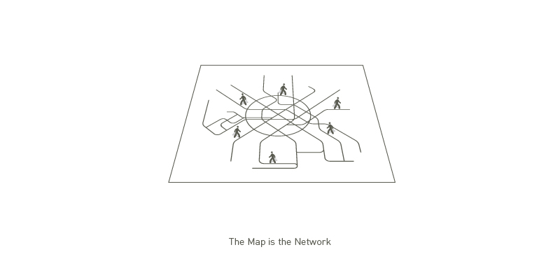
Prevented from exploring and understanding a metro system by independent means, a traveler relies entirely on the map for journey planning and navigation. As far as the user is concerned, the metro network has no practical existence as long as it is not graphically represented. Without a map he is incapable of navigating it. The network thus becomes a tangible reality only in so far as it is portrayed on a map. If a station is erased from the map it effectively ceases to exist for most users despite its continued physical existence. Paradoxically, the entire built infrastructure of a metro system remains virtual at all times while its conceptualized representation, the map, becomes its very reality. In a metro system, the map is the network.
Map and Mind
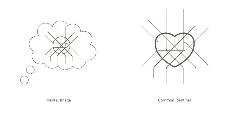
Since the map really is the network, the very reality of the network itself as well as its graphic representation, it is instrumental in the process of shaping a mental image of the metro system.
We use the map as the main referential when we think about the system, when we navigate the system, when we talk about the system. Very soon it starts crystallizing into an essential shape, seemingly immutable and eternal.
The metro system and the city being closely associated, although belonging to different dimensions, our mental images of the city and of the network constantly influence one another. Our image of the city results from of a great number of influences, from geography and built environment to experiences and emotional responses, whereas our image of the metro network comes primarily from a single source, the map. Hence he who controls the map acquires a tremendous power over the shaping of the mental images of both the network and the city. A change to the color of a line, or its shape, can have profound consequences not only on ridership numbers but also on the way the corresponding area of the city is perceived.
With such a power of influence comes an equal social responsibility as the metro map is one of the few common identifiers urban dwellers share. The metro map is indeed blindly accepted as a neutral, egalitarian and trustworthy medium by an entire urban population and requires the most cautious and delicate handling.
Lingua Franca
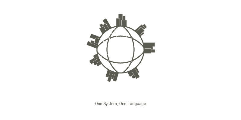
Metro systems around the world are strikingly homogeneous. They share common mechanisms and infrastructure characteristics. Most systems are located underground, trains run on tracks and usually serve a fixed route with constant terminal points while lines are colored and named or numbered. The very way one uses and navigates a metro system is similar anywhere around the world. Nevertheless the representation of these systems is multiple and as so much as it may accurately address local particularities or tastes, it fails to provide a clear feel of belonging to a wider community, a global urban community.
Creating a common language for the mapping of the underground realm would trigger the immediate perception of this shared paradigm. It would create common open ground for the exchange of experiences from around the globe.
The mastery of a dedicated schematic language specifically created for the underground world would empower travelers to explore this world further, instead of remaining confined to a small portion of it with which they are familiar, as they would grow confident in their ability to do so.
Last, a language that is at the same time a representation and a manifestation of a system offers an unlimited and unbounded potential for creativity and incarnation, as its components are simultaneously a concept as well as its very embodiment. Add a station to the map and it immediately starts to exist.
Inat Graphic Language
Since schematic maps are the already familiar and the most efficient way of representing a metro system, a map based graphic language could achieve universal understanding across continents and cultures.
It needs to be consistent though, and straightforward enough in order to be intuitively understandable, without prior learning or even a key. The INAT graphic language is an attempt at reaching such goal. INAT's components are clearly defined and hierarchically organized to enable immediate comprehension whilst a limited number of composition guidelines ensure the coherence of the layout.
Maps composed using the INAT graphic language are compact in shape and therefore handy to use on a wide range of media. The language is also easy enough to interpret as it uses a consistent set of symbols and syntax rules. Finally it makes use of schematization and mnemonics to aid the creation of a mental image.
It is a complete language with an unlimited potential for creation and just as with any other language, the quality of the speech will depend on the eloquence and inspiration of the speaker. Thus as much as it is suitable for the drafting of a user's manual, if properly articulated it may fortunately blossom into wonderful poetry.
Media coverage
This Beautiful Book Is An Atlas Of The World's Metro Systems
Fast Company
Architect Jug Cerovic is leading a subway map revolution
HERE 360
Efficient and beautiful maps of world's main cities
Fubiz
One Metro World
An atlas of schematic metro maps
Hardcover
8.25" x 11" (20.95 x 27.94 cm)
Full Color on White paper
252 pages
Order a hardcover copy on Amazon:
Amazon.com
Amazon.fr
Amazon.co.uk
Amazon.de
Amazon.es
